| These beautiful islands have only a few marked tracks, but wandering around
with a good map is a good way to see their beauty from a different angle. At this
latitude, well above artic circle, tree line is 200m or less according to exposition. Snow
patches can be found as low as 500m in summer.
This is an example in Moskenesöya at Sörvågen |
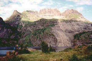
Mt Stövla and Lake
Stuvdal
|
|
|
A loop trip around Mt Stövla gives a good idea of the conditions there, starts on a well
worn path in a short birch forest, soon replaced with herb-fields along a pretty stream up
to lake Trolldals and the grassy slopes of Mt Stövla. |
 You are listening to a Norwegian
Dance by Edvard Grieg
 |
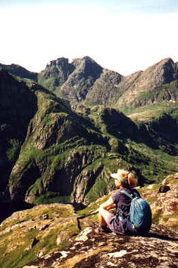
View towards Trolldalstinden
|
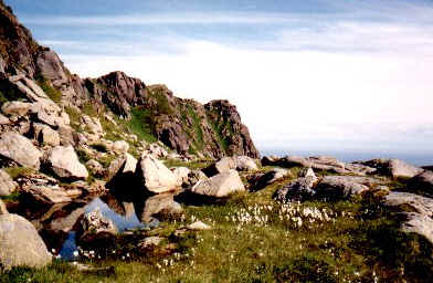
From there, use the best contour get up an obvious steep gully leading to a pass at about
500m. |
|
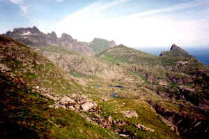
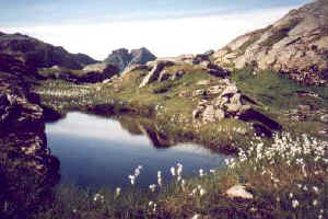
On the other side, it is then less steep to an area of small lakes crossed in the
direction of another trail getting back to the start point.
|
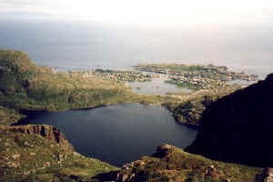
Views of Sörvågen
Good views of the village and harbour, interesting flora. |
